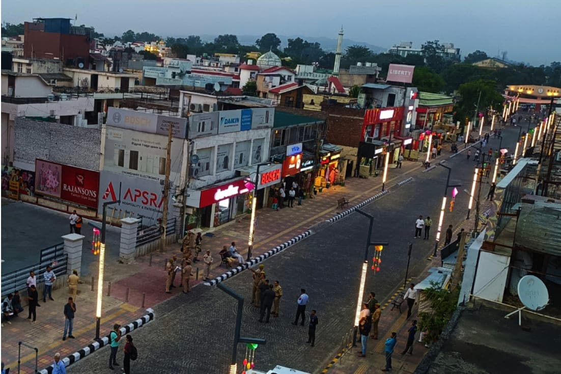
Street Design
PlannedTEST DATA — Bageshwari Lane
Meghanagar · Sahyadri Pradesh


- Client
- Meghanagar Hill Town Council (Test)
- Firm
- Terraform Landscape & Urban Design
- Status
- Planned
- Budget
- ₹1.28 Cr
test-datahill-town
Third dummy Street Design project for schema QA — a planned local street in a fictional hill terrain, minimal transit and no gallery to test empty-state handling elsewhere.
Basic Information
- Road type
- Local Street
- Terrain
- Mountainous and Steep
- Street length
- 0.35 mi
Introduction
Bageshwari Lane is a dummy steep local street proposed to improve pedestrian safety in Meghanagar's old quarter. Seeded to verify a Planned-status, minimal-transit project renders correctly.
Street Metrics

Primary
- Temple Approach Road
Right of Way
On ground (auto)6.85 m
Proposed7 m
Carriageway Width
On ground4.5 m
Ideal5 m
Pedestrian:Vehicle Ratio
34%
Crossings / 100m
0.18
Streetlight Density
1.07
- Bus stops
- 0
- Intersections
- 2
- Light points
- 6
- Zebra crossings
- 1
Climate
- Max temperature
- 29°C
- Humidity range
- 70–90%
- Max heat index
- 31
- Tree canopy coverage
- 25%
- Canopy trees
- 18
- Seating
- 2
- Cycling infrastructure
- No
Cooler hill-terrain temperatures reduce the urgency of shade provision relative to slope-safety and drainage design.
Street Mobility
- Pedestrian footfall
- 900 people per day
- Vehicular volume
- 60 vehicles per hr
- Avg. vehicular speed
- 30 km/h
- Street connectivity index
- 1.00
- Speed risk
- High
- Accessibility score
- 12%
Modal Split
- Walk70%
- Bike2%
- Car18%
- Public transit10%

Ramps
Tactile paving
Curb cuts
Accessible crossings
Wayfinding
Traffic calming
Commercial activation
On-street parking
Street median
Street Landuse

- Residential80%
- Institutional20%
An almost entirely residential, low-traffic context favours a shared-surface street over a conventional kerb-and-carriageway design.
Ground Floor Landuse

- Residential90%
- Retail10%
Minimal ground-floor retail confirms this is a residential access lane, not a commercial corridor.
Streetscape and Stakeholders
Residential
Bageshwari Heights
Avg Building Height
7 m
Building Height : Width Ratio
1.02
Edge
- Bageshwari Lane Residents
Infrastructure
- Meghanagar Hill Town Council
Interest–Power Matrix
Street Sources
Placeholder topographic survey (dummy data). Meghanagar Hill Town Council proposal brief (fictional).